Jump To:
Watersheds In Raleigh
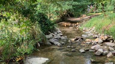
There are several watersheds in Raleigh! Use this map to find out which watershed you are in. And, then do your part to protect it by preventing water pollution or volunteering.
You can also view a PDF watersheds map.
Zoom in to see all of the watersheds.
Select the watershed in the table to learn more!
| Watersheds | ||
|---|---|---|
| Beaverdam East | Hare Snipe | Rochester |
| Beaverdam Knightdale | Harris Creek | Rocky Branch |
| Beaverdam Southwest | Honeycutt Creek | Rocky Branch East |
| Big Branch | House | Simmons |
| Big Branch South | Lower Barton Creek | Southgate |
| Briar Creek | Marsh | Swift Creek |
| Bridges Branch | Mine | Sycamore |
| Bridges Creek | Neuse | Tom's Creek |
| Bushy | Perry Creek | Turkey |
| Crabtree | Pigeon House Branch | Upper Barton Creek |
| Falls Lake | Richland | Walnut |
| Haley's Branch | Richland Creek Wake Forest | Wildcat |