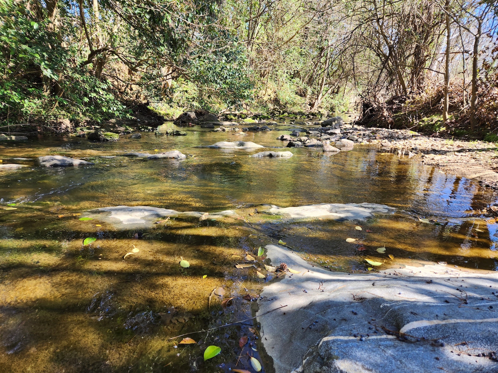
Rocky Branch Walnut Creek

Rocky Branch & Central Walnut Creek Watershed

Our Local Watersheds


Jump To:

 
Watershed Study About Rocky Branch Stormwater System Watershed Map

Watershed Study

We are doing a study of the Rocky Branch Watershed and the adjacent portion of the Walnut Creek Watershed located in southern downtown Raleigh. Learn more about our work and how you can provide your feedback on the Rocky Branch & Central Walnut Creek Watershed Study.

About Rocky Branch

A view of rocky branch creek

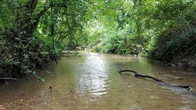
Rocky Branch begins near Meredith College, flows southeast through the NC State Central Campus and along Western Boulevard and joins with Walnut Creek at near South Wilmington Street and I-40. Walnut Creek flows east to the Neuse River. Over 7 miles of the Rocky Branch Trail and Walnut Creek Trail greenways follow the path of these two streams.

Rocky Branch, Walnut Creek, and their tributaries flow through several city parks, including:

  • Pullen Park
  • Dorothea Dix Park
  • Chavis Park
  • Walnut Creek Wetland Park
  • Apollo Heights Park

Stormwater System

Stormwater infrastructure, like culverts, pipes and drains, help safely collect and carry stormwater runoff into the streams when it rains. Water can also flow through the system under roads, driveways, and bridges before it reaches streams.

There are over 85 miles of stormwater pipes in this watershed.  Approximately 34 miles are maintained by the City. The remainder are located on state, county, or private property.

Watershed Map

Zoom into the map to see the location of the stormwater system and some recent stormwater projects. Raleigh Stormwater maintains the areas in yellow. Click the three lines on the map (upper right corner) to see what the icons mean.

Contact


Barbara Moranta, PE
Planning and Asset Manager 
barbara.moranta@raleighnc.gov
919-996-3976

Department:
Engineering Services
Service Categories:
Stormwater
Related Services:
Watersheds in Raleigh

Subscribe