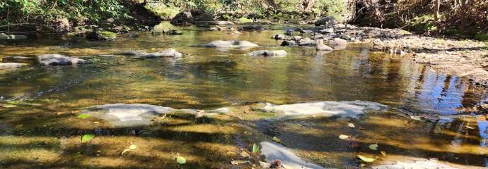
We completed a study of the Rocky Branch Watershed and the adjacent portion of the Walnut Creek Watershed located in southern downtown Raleigh. We found ways to improve the watershed that will:
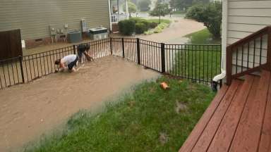
- Reduce flooding impacts
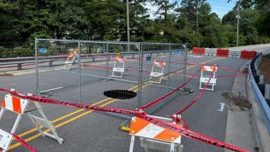
- Renew stormwater pipes and infrastructure that is in poor condition
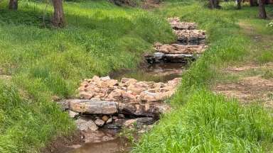
- Improve water quality
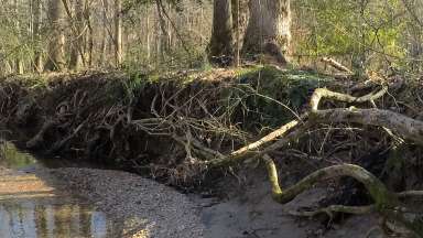
- Repair streambanks
Study Area: In and near downtown Raleigh.
Project Details
- Type:
-
Stormwater
- Project Lead:
-
Stormwater Management