Rain falling near a tree with green leaves

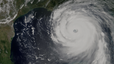
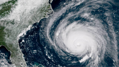
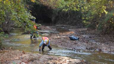
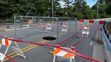
Track Storms with Us


Jump To:

 
Storm Tracking Is it Flooding? Frequency of Flooding Monitoring Tools Video: Tracking Flooding in Raleigh

Storm Tracking

We track rainfall and stream levels when the forecast calls for heavy rain. This includes monitoring different locations along Walnut Creek and Crabtree Creek. We identify flooding conditions during a storm.

This helps first responders close roads. And put other safety precautions in place, too.

Is it Flooding?

There are some stormwater systems and streets that are maintained by the City of Raleigh versus the NC Department of Transportation. To determine if a street or right or way is maintained by the City, view the Interactive Street Maintenance Map.

Use the map below to see where it's flooding in Raleigh. The icons will change color when water is close to or flooding an area.

View map in web browser.

Frequency of Flooding

Use this map to see where flooding typically occurs in Raleigh. The map shows areas in the floodplain and roads that are likely to flood. If you type in your address you can see how close you are to these locations. 

You can also zoom in to see where we monitor flooding with cameras and signs. 

View the map in a web browser.

Video: Tracking Flooding in Raleigh

Tracking Flooding in Raleigh

Get an inside look at how our flood monitoring system works – We use gauges to track stream levels, cameras to monitor road flooding, and signs to notify resident when water reaches the road.

Related Events

  All events