Projects: Planning
Services
-
Equitable Development Around Transit
-
Southeast Special Area Study
-
Midtown-St. Albans Area Plan
-
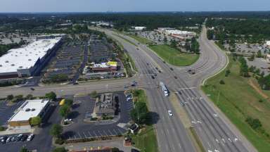
Capital Blvd. North Corridor Study
-
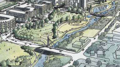
Dix Edge Area Study
-
Wakefield Small Area Study
-
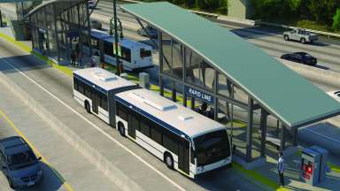
Bus Rapid Transit (BRT) Projects
-
Station Area Planning: New Bern
-
Western and Southern Transit Overlay District (TOD) Mapping
-
Five Points Streetscape and Safety Study
-
Station Area Planning: Western
-
South Park Heritage Trail
-
Station Area Planning: Southern
-
Northeast Special Study Area
-
Biltmore Hills National Register Nomination
-
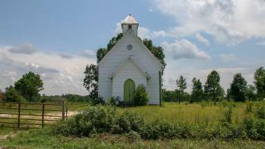
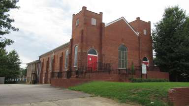
Preserving Black Churches
-
Historic Design Standards Update