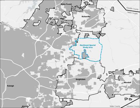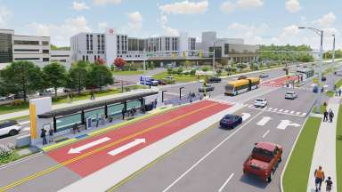
When Raleigh adopted its 2030 Comprehensive Plan in 2009, the Northeast Special Study Area was marked for future growth, pending further study and community input on land use, infrastructure, and natural resources.
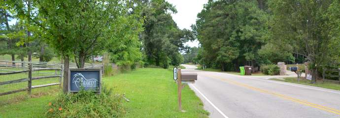
The study area is northeast of Raleigh’s planning jurisdiction. The area is bounded by the City of Raleigh to the west, Mitchell Mill Road to the north, Rolesville Road to the east, and Buffaloe Road to the south.
Project Details
- Type:
-
Area Plans
- Date Range:
- -
- Project Lead:
-
Matthew Klem