This project is part of the Neighborhood & Community Connections (N&CC) Program. The N&CC Program is an effort to identify, prioritize, and build new, walkable connections to parks and greenways. The N&CC Program was designed to promote health throughout the City, using geo-spatial modeling and data analysis to guide investment in those communities which are most at-risk of negative health outcomes and most in need of improved access to outdoor recreation opportunities.
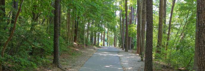
The proposed project includes the construction of a 10-foot wide trail from the Crabtree Creek Trail (Mile Marker 3) to the future Sunnybrook Road Park to the south at Carl Sandburg Court. This project was identified in the City’s Strategic Plan as a pilot project for Growth & Natural Resources Initiative 2.2. The project is being coordinated with a Raleigh Water Capital Improvement Program project. In addition, the project location is close in proximity to the future Bus Rapid Transit (BRT) stop on New Bern Avenue.
This N&CC project is funded through the 2014 Parks Bond Referendum and partial land acquisition funds. The N&CC projects focus on improving access to both recreational facilities and greenway trails.
View the Project Area Map
View the Crabtree Creek Greenway Connector Trail Project Presentation
Project Details
- Type:
-
Greenways and Trails
- Budget:
-
$ 1,150,000
- Contractors:
-
Design Contractor - McKim & Creed
