Jump To:
Can you summarize the text changes that occurred in Raleigh for the missing middle?
City Council passed text change TC-5-20 in the summer of 2021. This ordinance amended the City’s zoning code to permit more types of housing in residential neighborhoods, particularly duplexes and townhouses. Shortly thereafter, the Council directed staff to implement other creative strategies to increase the supply of housing with a particular focus near planned transit investments.
TC-20-21, was the next step in a more flexible zoning code designed to allow for smaller homes on smaller lots and denser development near high-frequency transit. TC-20-21 built on recently adopted policies to promote alternative and missing middle housing types so that Raleigh can better accommodate existing and future residents. TC-20-21 was adopted on May 10, 2022, and took effect on August 8, 2022.
What did TC-20-21 do?
TC-20-21 is sometimes referred to as "Missing Middle 2.0" and made the following changes to the UDO:
- Reduced the lot size requirements, and increased the allowed building size, for tiny houses. A tiny house could have a maximum 800-square-foot building footprint and a 1,200-square-foot floor area.
- Permitted Tiny Houses to be used for either single-unit or two-unit (duplex) living.
- Permitted flag lots in residential districts for the construction of Tiny Houses.
- Permitted two-unit townhouses in the R-4 zoning district.
- Synchronized lot dimensional standards across most residential building types.
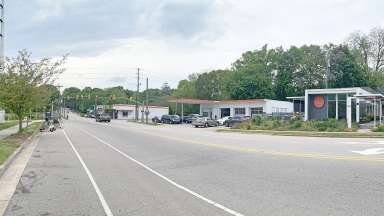
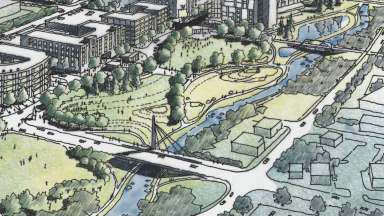
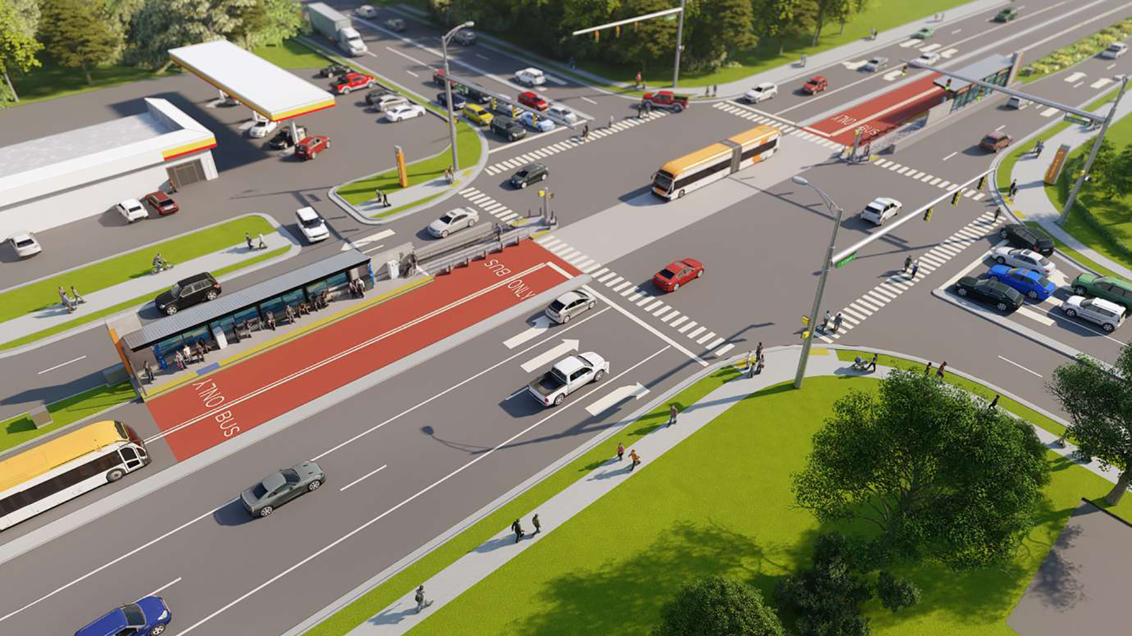
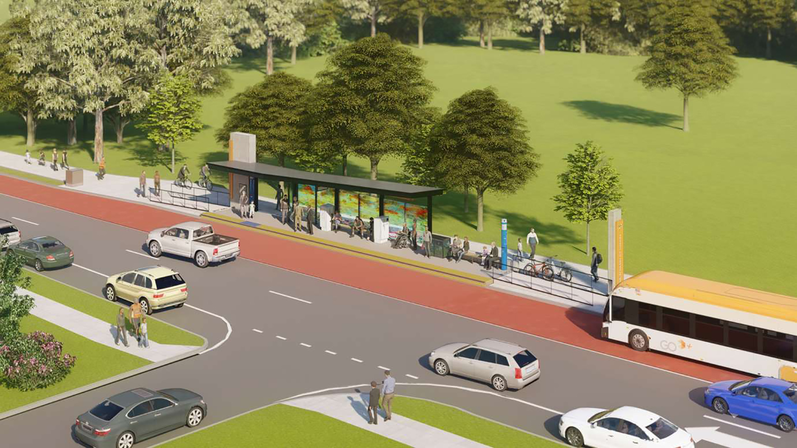
- Allowed denser residential development within proximity of planned high-frequency transit with some additional bonuses for affordable units.
- Allowed Accessory Dwelling Units (ADUs) on townhouse lots and two ADUs on a lot when located close to planned high-frequency transit.
- Reorganized the code to include ADU and Cottage Court regulations in both the Residential and Mixed-Use chapters of the UDO.
What is a flag lot?
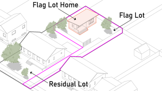
A flag lot is an irregularly shaped property, often with a narrow portion of land fronting on the street, that provides access to a larger portion of the lot to the rear. Flag lots are common in many cities and counties throughout the country and allow for the efficient use of oversized lots. Under these changes, a flag lot can be smaller than a traditional residential lot and therefore only tiny houses (1,200 sf max) are permitted on these lots.
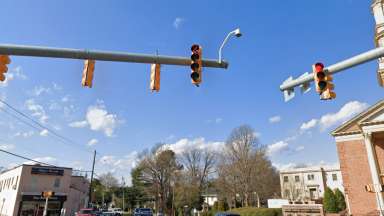
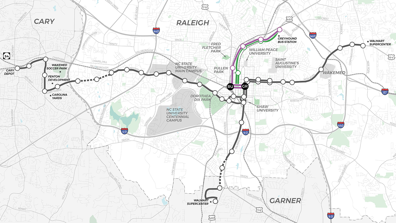
What areas are designated as proximate to high-frequency transit?
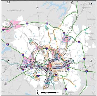
The City has adopted a map to designate specific areas within proximity of high-frequency transit. This map took into consideration existing and planned transit investments and has been incorporated into the City’s Comprehensive Plan.
To verify whether a property is located within a Frequent Transit Area:
- Search for the property in iMAPS
- Select the Raleigh Planning and Development layer
- Select the Urban Form sublayer.
- Frequent Transit Areas are shown in translucent white with a black border. (Note: To improve visibility, it may be helpful to deselect other layers.)
Will this lower the value of my house?
This is a common fear, but there is little evidence for it. The closest thing we have to a natural experiment is the existence of missing middle housing in old neighborhoods such as Oakwood, Boylan Heights, Mordecai, and Cameron Park that predate exclusive single-family zoning. These neighborhoods are among the most valuable in the city. The presence of two- to four-unit buildings and townhouses in these neighborhoods does not appear to have suppressed the value of these areas. Some neighborhoods, like Yarborough Park, provide housing options that are more affordable than single-family.
Will this result in the clear-cutting of lots?
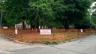
The City’s existing Tree Conservation Area requirements will continue to apply to larger projects (>2 acres). In addition, the City is currently pursuing additional changes to our tree preservation rules, which if adopted, would apply to these types of projects.
Will this result in additional stormwater runoff?
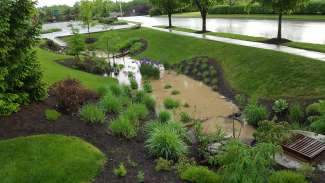
Raleigh’s existing Stormwater Control measures will apply. Smaller lots will be held to maximum impervious surface limitations while larger lots will be held to nitrogen reduction and stormwater runoff controls.
Will this increase traffic?
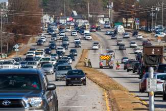
The intention of these text changes is to encourage denser development that will shorten trip length, reduce vehicle miles traveled (VMT), and make other modes more appealing, such as walking, biking, and public transit. While most projects will not result in a significant increase in traffic, larger scale developments may necessitate the completion of a traffic impact analysis (TIA) to determine if additional site improvements are needed.