Pigeon House Creek

Stormwater

Pigeon House Branch Watershed Study

Downtown Raleigh Area

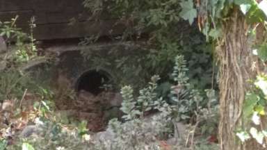
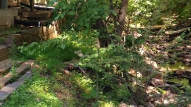
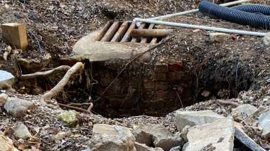
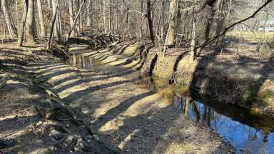
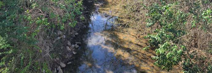
We completed the Pigeon House Branch Watershed Study! From the study, we better understand and will improve flooding, water quality, and stream conditions in the area. This watershed plan will help us make informed and strategic decisions about stormwater projects planned over the next several decades.

Study Area: In and near downtown Raleigh. Learn more about the Pigeon House Branch Watershed.

Project Details

 
Type:
Stormwater
Project Lead:
Stormwater Management

Contact


Sheri Smith, PE
Senior Engineer
sheryl.smith@raleighnc.gov
919-996-3975

Lead Department:
Engineering Services

Subscribe


Planning

The Pigeon House Branch Watershed Study is complete. Projects identified from the study include: 

  • Stormwater conveyance improvements to reduce flooding
  • Green stormwater infrastructure
  • Renewal and repair of poor condition stormwater 

Watershed study findings also help inform our ongoing stormwater programs. View the Pigeon House Watershed Study Fact Sheet (PDF).

Community Engagement

We connected with those who live and work in the watershed to better understand stormwater priorities.  We released a survey to gather feedback on stormwater conditions, held three public meetings and a pop-up meeting, and talked with many community members. In all, we’ve collected feedback from almost 300 project participants. We appreciate your feedback! View the Pigeon House Study survey results.

Infrastructure Inspections

The City inspected over 20 miles of stormwater pipes and culverts within public rights-of-way in Pigeon House Branch watershed. We are using these inspections to plan for routine maintenance and future repair or replacement projects. View the Aging Stormwater Infrastructure Map (PDF).

Stream Assessment

Consultants assessed the entire length of Pigeon House Branch, Cemetery Branch, and their major tributaries. They noted both ecological integrity as well as where there are hardscapes installed over the years to protect private property from stream erosion. View Stream and Riparian Buffers Map (PDF).

Stormwater Improvements to Reduce Flooding Impacts

We created a model to look at the severity and frequency of flooding in the watershed. Focus areas were identified due to severe flooding reported by the public and from the model. Projects were identified in these focus areas to address street and structural flooding.

View the Watershed Project Map (PDF).

Water Quality Enhancements

A water quality model was constructed for the Pigeon House Branch watershed to evaluate potential benefits of projects to reduce sediment, phosphorus, and nitrogen pollutant loading to streams. This study identified opportunities to install green stormwater infrastructure (GSI) into the existing landscape. The City is building partnerships to find cost-effective and multi-beneficial methods to implement these projects.

Lead Department:
Engineering Services

About the Watershed

The Pigeon House Watershed is located near downtown Raleigh and is one of 36 watersheds in the city. Learn more about the Pigeon House Branch Watershed.

Watershed Map

You can zoom into the map below to see the location of the stormwater system and some recent stormwater projects. We maintain the areas in yellow. This is the stormwater system on City-maintained, public roads.

Related Projects

  All projects