Bridge on section of Neuse Greenway Trail

Neuse River Greenway Trail


Jump To:

 
Features Segments

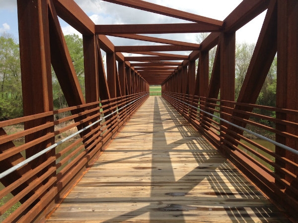
The Neuse River Greenway Trail is 27.5 miles of paved trail with diverse features. The trail offers scenic views of the Neuse River, winding boardwalk areas through wetlands, historical sights, interpretive signs, and agricultural fields. Check the Greenway alerts page before visiting for closure information.

The Neuse River Trail is a segment of the Mountains-to-Sea Trail, a long-distance trail that runs across North Carolina from the Great Smoky Mountains to the Outer Banks.

All distance measurements assume a start point at Falls Lake Dam.

Trails are open from dawn to dusk daily.

View the Neuse River Greenway trail map. For more detailed information, view the Capital Area Greenway System Map.

Neuse River Park Bond Project

Contact


To report a Greenway maintenance issue: 919-996-4115Email

Greenway Planning and Greenway Map Requests: 919-996-3285Email

Address

20 Anderson Point Drive
Raleigh, NC 27610

Subscribe


Features

Segments

Horseshoe Farm Nature Preserve to Buffaloe Road Athletic Park

Distance

Parking

Other parking lots that provide access can be found at:

Buffaloe Road Athletic Park to Milburnie Dam

Distance

  • 14.9 miles to Milburnie Park and dam

Parking

Milburnie Dam to Anderson Point Park

Distance

Parking

Anderson Point Park to Auburn Knightdale Road

Distance

  • 17.3 miles to Crabtree Creek Trail
  • 19 miles to Walnut Creek Trail
  • 22 miles to Auburn Knightdale Road

Parking

Auburn Knightdale Road to County Line

Distance

  • 27.5 miles to Wake/Johnston County Line

Parking

Related News