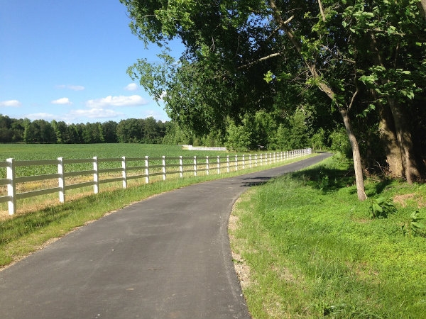
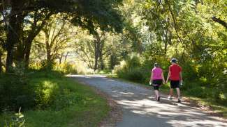
Jump To:
Trails and Map
The Raleigh Parks greenway map shows existing and nearer term planned (less than 5 years) trails, parking areas with trail access, as well as select City of Raleigh facilities.
Download the current Raleigh Greenway Map Here
This map is available at no cost and is available at community centers, our administrative office, located on the sixth floor of the Raleigh Municipal Building, by email or by calling 919-996-3285.
Trails
The Capital Area Greenway system has over 100 miles of trails to explore. There are 28 trails that comprise the Raleigh greenway system, each with its unique features, destinations, and character. Trails are open from dawn to dusk daily.
Parking
The Capital Area Greenway System is served by over 4,000 parking spaces located in lots and on-street across Raleigh.
When walking or biking isn't an option to reach the greenway, use our parking locations.
Safety and Rules
To enjoy Raleigh greenways safely, we recommend you follow the rules and safety etiquette.
Closures and Alerts
View Greenway Closures, Detours, and Alerts
Help us keep the greenways safe and in good condition! If you see something needing repair or maintenance, please contact the greenway maintenance staff at 919-996-4115 or by email or report it on SeeClickFix.
Greenway Master Plan
We're updating the Capital Area Greenway Master Plan. Learn more about the project.
Raleigh Greenspace App
Raleigh Greenspace, a CityCamp 2012 winner, is an interactive map of greenway trails with additional features such as weather reports, the ability to submit maintenance requests via SeeClickFix, and the ability to track time and distance traveled.
The application is not a product of the City of Raleigh. It was created by the Raleigh Greenspace team and was built using Open Raleigh GIS (Geographic Information System) Data. The free application is available for mobile devices running the Android and iOS operating systems.