Jump To:
Other Key Components
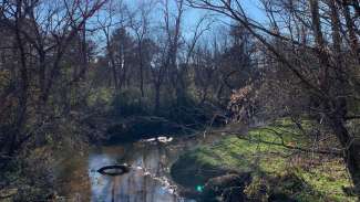
Walnut Creek in Raleigh.
Flood Monitoring Cameras
We use an extensive network of cameras to monitor flooding throughout the system. These cameras are installed and maintained in partnership with our Department of Transportation. We also have access to another 200 transportation cameras and 20 solar-powered, cellular networked video cameras. Learn more about theses cameras and how they support these efforts.
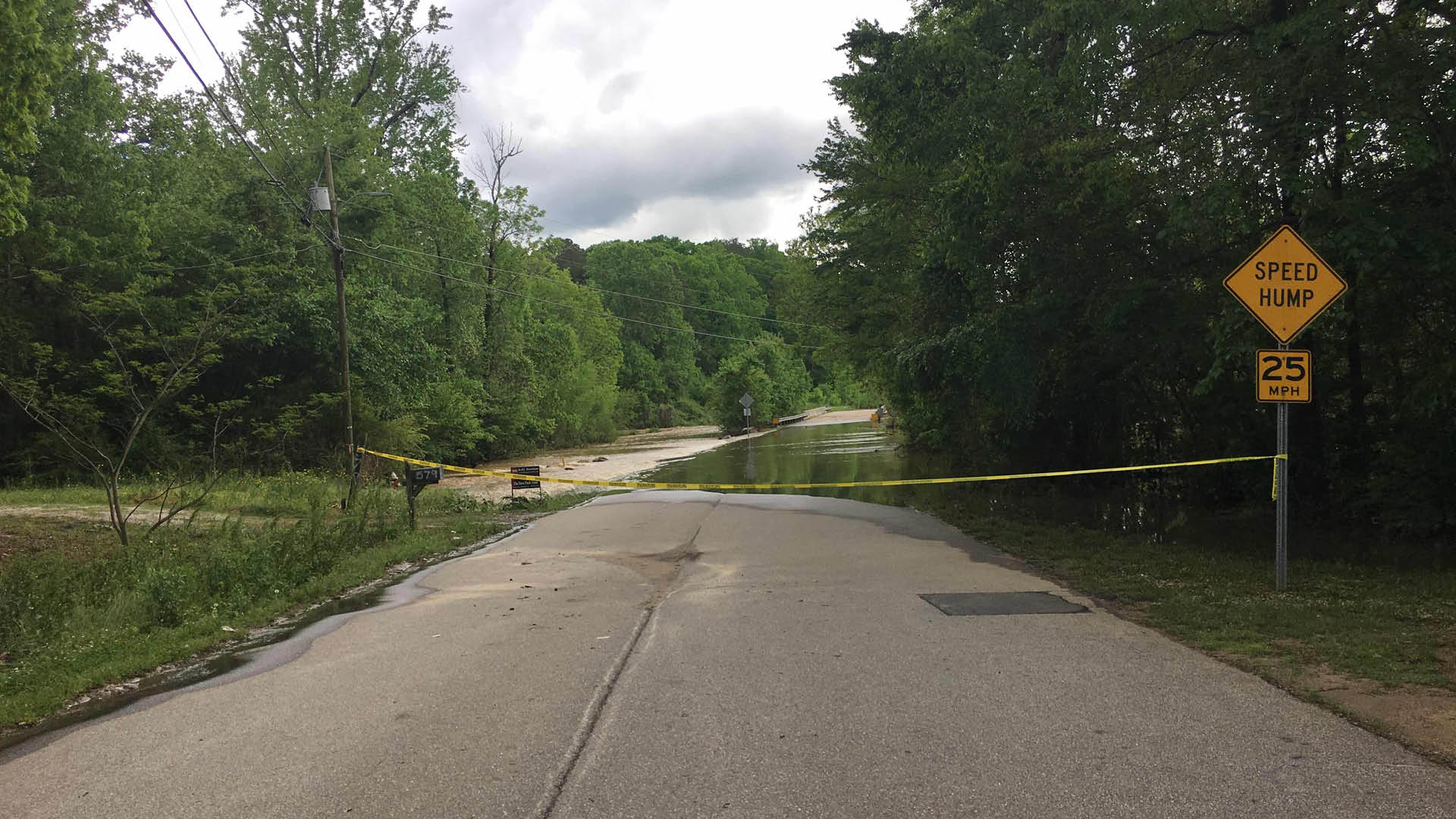
Flood Warning Sign Systems
Raleigh has nine locations that have flood warning sign systems installed in flood prone areas. These signs activate and start flashing for motorist to see when the flo sensor in that area is activated. These signs are installed and maintained in partnership with RDOT. More information can be found here:
Active Flood Control System (Lake Johnson / Walnut Creek)
Our Stormwater team has a monitoring and real-time control system installed at Lake Johnson that allows us to monitor the lake level and control the valve and gate at the tower remotely. We use this system to proactively lower the lake prior to larger know storm events to reduce the risk of flooding along Walnut Creek.
Severe Weather Preparedness
It is our responsibility to help educate the community on how to best prepare for flooding and other severe weather-related events. Our website has a lot of helpful information on this topic.
Track Storms with Us
You can use the city website to track flood levels at key locations in the Crabtree Creek and Walnut Creek watersheds including links to the USGS webpage with more details of flood elevations in real time.
Collection Times
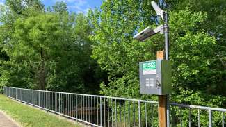
A stream gauge on S. State Street.
In coordination with USGS, as of the Summer of 2022 we now collect and transmit gauge data every five minutes at all our stream and rain gauge locations (instead of every fifteen minutes or every hour as in years past).
Note: The current gauge data is not available right away. There is a brief processing period from when data is collected to when it's available on the USGS website or our dashboard.