Jump To:
Locations
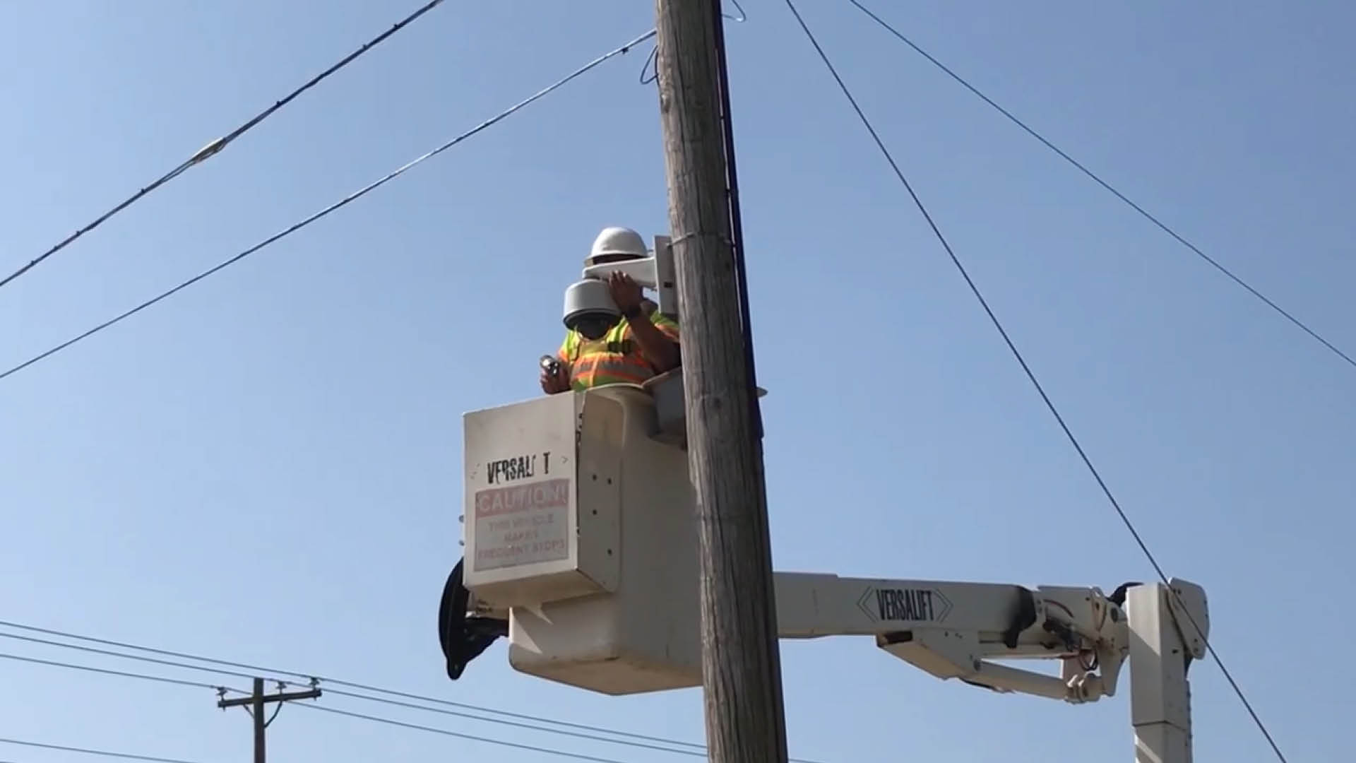
We are installing 16 cameras throughout Raleigh to monitor traffic and flooding when it rains. The cameras are located near streams (to watch for creek flooding) and near floodprone areas.
Active Cameras
- Creedmoor Road and Crabtree Valley Avenue
- Wake Forest Road and Hodges Street
- Avent Ferry Road and Trailwood Drive
- Atlantic Avenue and Hodges Street
- Anderson Drive, Oxford Road and Claremont Road
- Lassiter Mill Road and Millstream Place
- Wilmington Street and City Farm Rd
- Capital Boulevard and Hodges Street
- S. Saunders Street at I-440
- Pigeon House Creek at Cameron Village
- Blue Ridge Road, Glenwood Avenue and Lead Mine Road Intersection
- Lumley Road and Briar Creek Pkwy
- Sunnybrook Road near Walnut Creek
Future Locations
- Garner Road at the greenway trail
- Gorman Street (between Avent Ferry Road and Walnut Creek)
- Walnut Creek at Buck Jones Road
- Walnut Creek at South State Street
View this map to see where the cameras are located.
United States Geological Survey Partnership
USGS installed a camera and stream gauge to monitor Walnut Creek at South State Street.