Jump To:
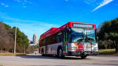
The City of Raleigh plans to suspend our Shared Streets initiative for a few months. We will remove the Shared Streets infrastructure from the five streets that were part of this social distancing initiative piloted on June 2, 2020.
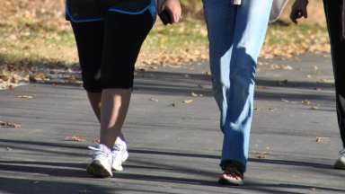
The Shared Streets pilot was designed to address increased movement in the City. It served to help people find safe, healthy ways to enjoy outdoor activities while supporting physical distancing during the COVID-19 pandemic. The program implemented “soft” street closures on designated neighborhood streets.
The Shared Streets network consisted of five streets geographically dispersed throughout the City:
- Fiesta Way from Falls of Neuse Road to Harps Mill Road
- Mourning Dove Road from Six Forks Road to the end of Mourning Dove Road
- Pineview Drive from Kaplan Drive to Avent Ferry Road
- Rose Lane from Poole Road to the Walnut Creek Greenway access point
- Winthrop Drive from Rembert Drive to Millbrook Road
“We will suspend this program for now,” said Transportation Assistant Director Paul Kallam.“ Resident survey feedback we received was both positive and negative. Our goal now is to refine some elements of the program and look to deploy this initiative to a new set of streets in the spring.”
City of Raleigh staff will begin removing the barricades and signage the Jan. 4 week.
The City will continue to work with residents to anticipate what future changes will be necessary due to the pandemic and how they can benefit everyone.
Tell us what you think
Shared Streets is a pilot program for the City of Raleigh, and we would love your feedback! Please reach out with your questions, suggestions, comments, or concerns by sending us an email at sharedstreets@raleighnc.gov.
Where are Raleigh’s Shared Streets?
The initial four-month pilot phase of Shared Streets includes five streets geographically dispersed throughout the City. Based on community feedback and user data, these streets could change and/or new streets may be added in the future.
Here are the City of Raleigh’s first planned Shared Streets:
- Fiesta Way from Falls of Neuse Road to Harps Mill Road
- Mourning Dove Road from Six Forks Road to the end of Mourning Dove Road
- Pineview Drive from Kaplan Drive to Avent Ferry Road
- Rose Lane from Poole Road to the Walnut Creek Greenway access point
- Winthrop Drive from Rembert Drive to Millbrook Road
How were the pilot Share Streets selected?
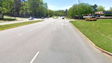
The five Shared Streets are neighborhood residential streets designated as neighborhood bikeways in the City of Raleigh’s bike plan. They have generally lower-traffic volumes and lower posted speeds (25 or 30 Miles per Hour) and serve as key connections to existing greenways or nearby parks. They lack existing sidewalks and are maintained by the City of Raleigh.
How do we get a Shared Street in our Neighborhood?
Shared Streets is a four-month pilot program initially being tested on five Raleigh residential streets. User feedback and community experience will help determine what the future of Shared Streets might look like for our city. We would love your feedback! Please reach out with your questions,
suggestions, comments, or concerns by sending us an email at sharedstreets@raleighnc.gov.
Shared Streets FAQ
Who shares the street? Bikes? Walkers? School buses? Cars?
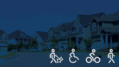
This could include pedestrians, bikers, runners, residents walking pets, local motorists, school buses that are picking/dropping off children, waste services collections, special delivery services, etc.
Are people supposed to be able to walk in the middle of the road?
The program is intended to allow pedestrians use of the street where the sidewalk might be unavailable or social distancing cannot be maintained.
My street was not selected for the pilot.
Based on resident feedback, the City is considering other neighborhoods for future Shared Streets. Please email sharedstreets@raleighnc.gov to nominate your neighborhood.
How is traffic control managed?
Barricades and signage are strategically placed along the street as friendly reminders for everyone to remain observant and cautious.