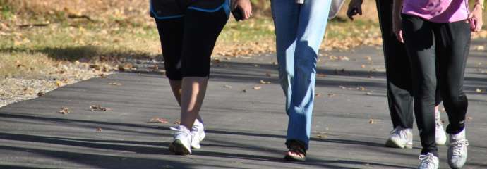
People walking on the greenway trail

Parks and Recreation

Trenton Road Connector Project

Improving connectivity

Project Overview

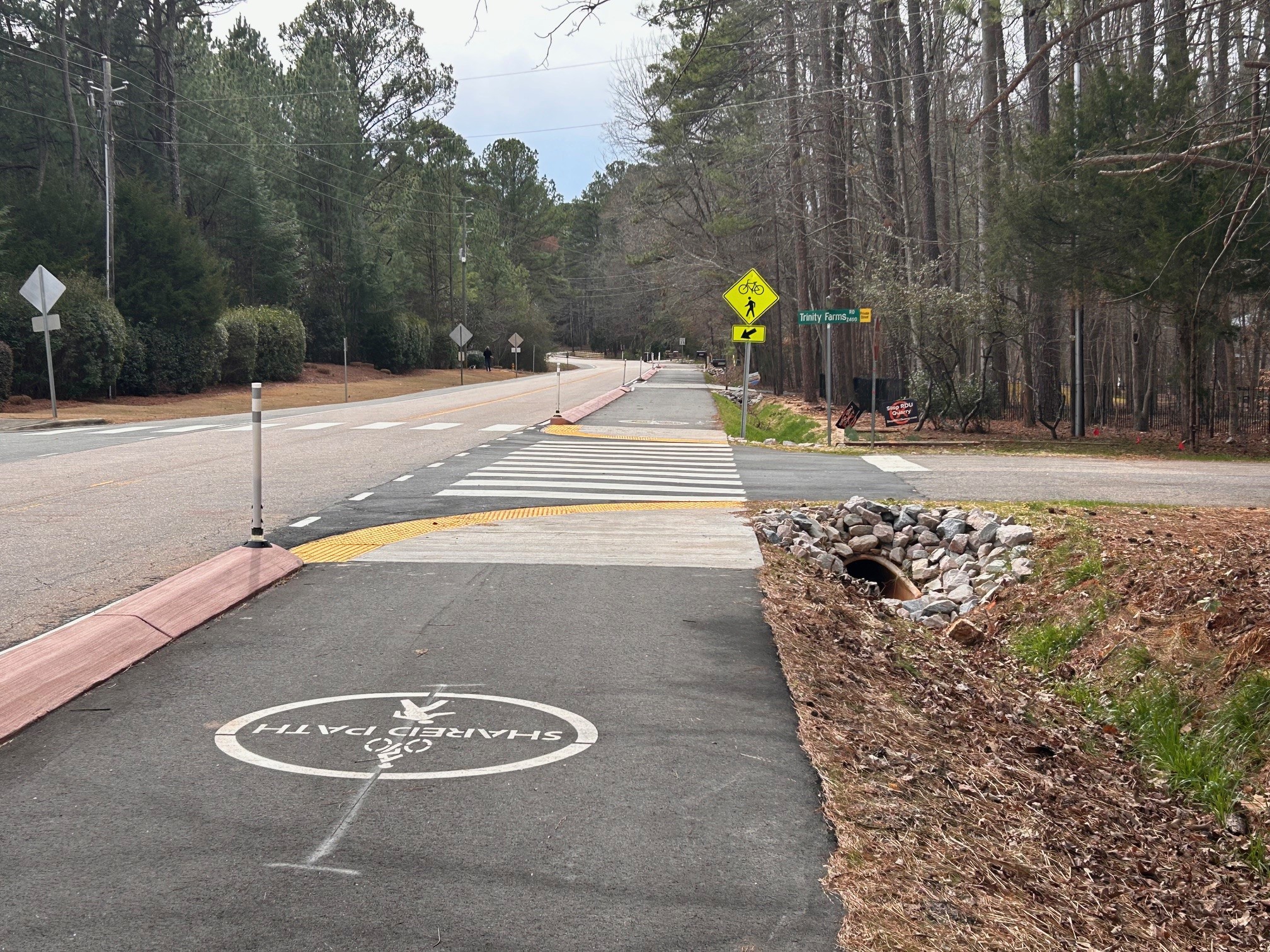
The Trenton Road Connector Project is a 10’ wide multi-use trail located along Trenton Road between Trenton Park Lane and the William B. Umstead State Park Entrance at Reedy Creek Road.  The project also included pedestrian crossings at Manorbrook Road and Silent Stream Ct. A multitude of factors were considered in making the project constructible including minimal property acquisition, safe for users, permittable, respect the natural environment, minimize challenges associated with utilities, and provide a realistic construction budget for the project based on the current project budget.

Project Details

 
Type:
Greenways and Trails
Budget:
$1,548,817.44
Project Lead:
David P Bender - Capital Projects Manager
Contractors:
The John R. McAdams Company, Inc. and Lanier Construction Company
Contact


Construction Project Manager
Jay Shah
jaykumar.shah@raleighnc.gov

Lead Department:
Parks, Recreation and Cultural Resources

Subscribe


Planning

The Trenton Road Connector Project was originated from a citizen-led request from the residents located along Trenton Road.  Residents requested a way to provide improved and safer bicycle and pedestrian access along Trenton Road and connection to the Reedy Creek Road entrance into Umstead State Park.  In September 2013 City Council approved a budget item to design and construct an improved facility along Trenton Road.

In a Feasibility Study completed in 2019 the consultant evaluated the constructability of a 5’ and 8’ sidewalk constructed along the right of way and behind the existing swale ditch in addition to crosswalk improvements.  The recommendation from the feasibility study was the design and construction of the 5’ sidewalk primarily because it was within the existing project budget. See the Feasibility Study here.

In 2020, the project team further explored additional options for a facility that would fit within the project budget but would match the 10-foot width of the existing greenway facility located along Reedy Creek Road (Reedy Creek Trail). This would provide continuity of like to like greenway facilities and provides for future expansion of the greenway system, connections to Cary and the future I-40 Triangle Bikeway project. 

Staff presented findings and a proposal to move forward with a 10’ side path to the public in May 2021 by hosting virtual live public open house and pre-recorded presentations on the proposal. Finally, staff presented this information to the Parks, Recreation and Greenway Advisory Board (PRGAB) in July 2021 and to City Council in September 2021.  The PRGAB and Council provided authorization for staff to move forward. 

The 10’ side path has a smaller footprint then the 5’ sidewalk design (less impact on utilities, individual properties and existing vegetation); better accommodates bikes (Trenton Road is designated 10 Year Priority: Separated Bikeway in the COR Bike Plan and provides a future connection to the I-40 Bikeway) and provides for a more efficient and safer connection for new crosswalk construction at Manorbrook Road, Trinity Farms Road and Silent Stream Court intersection and Windy Woods Drive.

See the Feasibility Study here.

Design

The Trenton Road Connector Project design team is preparing to advertise the project for construction bids.  The design team has continually worked very closely with the Trenton Road community, NCDOT representatives as well as City of Raleigh Transportation, Roadway Design, and Construction Departments to address the following recommendations.

These recommendations include but are not limited to the following:

•    Tint cast in place concrete median

•    Eliminate white plastic delimitator's except at intersections

•    Reduce travel lane width to provide added friction to reduce vehicle speed

•    Reduce posted speed limit from 35 MPH to 30 MPH

•    Include unmarked pedestrian crossing in cast in place concrete median to accommodate property owner request

•    Include a second driveway with culvert pipe per request of property owner

•    Increase size of drainage pipe at culverts to reduce slope of grass ditch.

All of these requests require final authorization by NCDOT so our design team has been collaborating directly with NCDOT to ensure all of these requests can be accommodated.  This does take time since we do not control the schedules or availability of NCDOT staff.

NCDOT Division Traffic has completed their final review for the Trenton Road Connector Project Encroachment Permit and have required the following items to be removed from the plans:

  1. Remove pedestrian crossing improvements at Windy Woods Drive.

    Per NCDOT Division Traffic Review: Crosswalk improvements cannot be approved without adequate pedestrian accommodations to receive the crossing. (Sidewalks and curb ramps)
  2. Remove Sharrows from plans.

    Per NCDOT Division Traffic Review: While is it understood that bikes are allowed to ride in the travel lane with a multi-use path, this shall not be encouraged with the use of sharrows.

*Please note that Trenton Road is a NCDOT right of way and they have control on all proposed improvements.

Construction

The project is close to complete and the new multi-use path is open to the public. 

There may be some restriping along Trenton Road in the coming weeks and then the project will be complete. 

The new multi-use path on Trenton Road. This image is at an intersection and shows the message "share this path".
Lead Department:
Engineering Services

Complete

The new trail is open to the public and the project is complete. 

The new multi-use path on Trenton Road. This image is at an intersection and shows the message "share this path".

Schedule

Date Activity
December 2022 Estimated Start of Construction (6 Months)
Spring 2024 Construction Completion
Road work and trail closure August 1 - August 19, 2024
Open trail to public August 19, 2024

History

The Capital Area Greenway System was first adopted by City Council in 1976. This plan proposed a system of linear parks located primarily along rivers, streams, and creeks, and included the opportunity for an interconnected system of pedestrian trails across the region.

Related Projects

  All projects