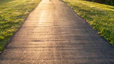
People walking on the greenway trail

Parks and Recreation

Neuse Connector Streambank Repairs Project

Greenways

During Hurricane Matthew, the Neuse River Trail sustained damage due to flooding and erosion. The eroded banks must be stabilized to protect the Neuse River Trails from further erosion. 

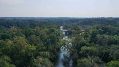
This stabilization project, located on the Neuse River Trail at Mile Marker 8 1/8, Neuse Connector Trail to Horseshoe Farm Nature Preserve (no detour is available during construction), is on the Neuse River Trail west of the suspension bridge adjacent to Louisburg Road. See project location map here. The trail will be closed during construction. The suspension bridge connecting Neuse River Trail from US 401 to Horseshoe Farm Nature Preserve will remain open during construction.

Project Details

 
Type:
Greenways and Trails
Budget:
$378,868
Contractors:
Stantec Consulting Services (Design) Kiewit Infrastructure South Company (Construction)
Contact


David Bender

Lead Department:
Parks, Recreation and Cultural Resources
Participating Department:
Parks, Recreation and Cultural Resources

Subscribe


Construction

Raleigh Parks advertised the construction bid for the Streambank Repairs Project on September 11, 2020. Bids were received and opened on October 22, 2020, and the lowest, most responsive, responsible bidder was Kiewit Infrastructure South Company. 

Construction will begin in April 2021 and will close this section of trail anticipated to re-open in July 2021.  

The work includes the installation of constructed rock riffles, vanes, boulder, and brush toe, and boulder sill. The site will be revegetated with bare roots and live stakes. The contractor will be responsible for providing necessary erosion and sediment control as well as traffic control.

The suspension bridge connecting Neuse River Trail from US 401 to Horseshoe Farm Nature Preserve will remain open during construction.

Complete

This project is complete.


Schedule

Date Phase
April 2021 Construction Start
July 2021 Final Construction Completion

History

The Capital Area Greenway System was first adopted by City Council in 1976. This plan proposed a system of linear parks located primarily along rivers, streams, and creeks, and included the opportunity for an interconnected system of pedestrian trails across the region.

Related Projects

  All projects