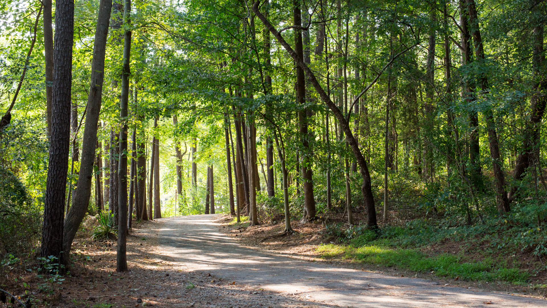
The Capital Area Greenway system has over 100 miles of trails to explore. There are 28 trails that compose the greenway system, each with its unique features, destinations, and character. Trails are open from dawn to dusk daily.
| Trail Name | Mileage | Description |
|---|---|---|
| Abbotts Creek | 3.3 | Follows Abbotts Creek from the Neuse River Trail to Simms Branch Trail near the intersection of Durant Rd and Cub Trl. |
| Baileywick | 0.6 | Connects from Strickland Rd to Baileywick Rd by passing through Baileywick Park. |
| Beaver Dam | 0.8 | A natural surface trail located adjacent to Beaver Dam Creek between Wade Ave and Devonshire Dr that passes through Windemere Beaver Dam Park. |
| Birch Ridge Connector | 0.3 | A wide sidewalk that connects Poole Rd to the Walnut Creek Athletic Complex (Walnut Creek North Park). |
| Centennial Bikeway Connector | 2.5 | A multi-purpose path adjacent to Centennial Pkwy on the NC State University Centennial Campus and on the south side of Western Blvd. |
| Crabtree Creek | 18 | Follows Crabtree Creek from the Neuse River Trail to William B. Umstead State Park. |
| East Fork Mine Creek | 2.5 | Follows East Fork Mine Creek upstream from the confluence of Mine Creek to the north side of Strickland Rd. |
| Edwards Mill Connector | 2.1 | A multi-purpose path along Edwards Mill Rd from Trinity Rd to Reedy Creek Rd. |
| Gardner Street | 0.8 | A natural surface trail that connects Jaycee Park to Isabella Cannon Park. |
| Hare Snipe Creek | 2.3 | Follows Hare Snipe Creek from Wooten Meadow Park to Lake Lynn Park. |
| Honeycutt Creek | 3.8 | Follows Honeycutt Creek from Raven Ridge Rd to Strickland Rd. The trail section from Raven Ridge Rd to Durant Rd is unpaved and limited to foot traffic only. Also, be aware that seasonal bow hunting occurs on this property. Orange vests will be provided for use during these times. |
| House Creek | 2.8 | Follows House Creek along the I-440 beltline between the Crabtree Creek Trail at Crabtree Valley Mall and Reedy Creek Trail at Wade Ave. |
| Lake Johnson East Loop | 2.8 | A loop trail around the east side of Lake Johnson. |
| Lake Johnson West Loop | 2.1 | A loop trail around the west side of Lake Johnson. |
| Lake Lynn Loop | 1.2 | A loop trail around Lake Lynn. |
| Little Rock | 1.8 | Follows Little Rock Creek from the Walnut Creek Wetland Park to downtown. |
| Marsh Creek | 0.3 | Follows Marsh Creek through Brentwood Park between Glenraven Dr and Ingram Dr. |
| Martin Street Connector | 0.4 | A sidewalk connection between Little Rock Trail at Chavis Way to downtown. |
| Mine Creek | 4.2 | Follows Mine Creek north from the confluence with Crabtree Creek to Sawmill Rd. |
| Neuse River Trail | 27.5 | Follows the Neuse River south from Falls Lake Dam to Wake/Johnston County Line. |
| Reedy Creek | 5.0 | Follows Reedy Creek Rd from Umstead State Park to the North Carolina Museum of Art and Meredith College Campus. |
| Richland Creek | 3.1 | Follows Richland Creek from the PNC Arena through Schenck Forest to Umstead State Park (Please note, bikes are not permitted in Schenck Forest) |
| Rocky Branch | 3.9 | Follows Rocky Branch from the intersection with Walnut Creek Trail to Reedy Creek Trail on the campus of Meredith College. |
| Shelley Lake Loop | 2.1 | A loop trail around Shelley Lake. |
| Simms Branch | 1.9 | Follows Simms Branch from the intersection with Abbotts Creek Trail on Cub Trl to Durant Nature Preserve. |
| Snelling Branch | 0.9 | Follows Snelling Branch from Mine Creek Trail at Shelley Lake to Optimist Park. |
| Spring Forest | 0.4 | A multi-purpose path adjacent to Triangle Town Blvd from Old Wake Forest Rd to Sumner Blvd. |
| Wakefield | 1.4 | Follows the power line from Falls of Neuse Rd to Dunard St. Trail is unpaved from London Bell Dr to Dunard St. |
| Walnut Creek | 15.6 | Follows Walnut Creek northwest through southeast Raleigh from the Neuse River Trail to Lake Johnson |