Thank you for printing this page from the City of Raleigh's Official Website (www.raleighnc.gov)
https://raleighnc.gov/apps-maps-and-open-data/events/2026-gis-day
07/22/2026 10:58 am
Join the City of Raleigh Information Technology Department for GIS Day on Wednesday, November 18, from 8:30 a.m. to noon at the City of Raleigh Museum.
GIS, or Geographic Information Systems, is a technology that uses maps and location-based information to help people understand communities, solve problems, and make informed decisions.
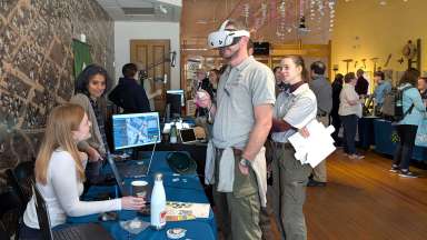
This free, interactive event will feature hands-on activities and demonstrations showing how state and local governments use GIS and other emerging technologies to improve services and address everyday challenges.
Whether you are familiar with GIS or simply curious about how this technology supports our community, everyone is welcome to attend.
Interested in hosting a table at the November 18 event? Fill out this form to sign up!
The closest public parking deck is Moore Square Parking deck. There is also limited street parking available.