Jump To:
Designation Documents
An early automobile suburb associated with the growth of North Carolina State University (portions developed with racially restrictive covenants).
Period of Significance: 1886 – 1956
Properties with a contributing status in the district may be eligible for the federal and state historic tax credit programs. Visit the Historic Property Tax Credit webpage for more information.
History
The district encompasses several platted suburbs laid out for the most part in the interwar period, developed in stages in the next decades, and almost fully built out by 1956. Before the suburban development, this was mostly farmland. The state fairgrounds occupied 55 acres here before relocating west of Blue Ridge Road in 1926. The horse-racing oval is still apparent at Raleigh Little Theatre, erected on the old fairground site. The North Carolina Agricultural Experiment Station, established in 1877, occupied another 35 acres southwest of the fairgrounds, using the acreage as test plots for crops. A model farmhouse, laboratory, plant house, and barn were built for the station in 1886. The model farmhouse, which doubled as the experiment station superintendent's home, remains at its original location at 2714 Vanderbilt Avenue.
In 1915, W. C. Riddick and Carroll L. Mann, engineering professors at State College, surveyed and platted the first development, Fair-Ground Heights, located northeast of the state fairgrounds. Additional subdivisions platted from the mid-1910s and on include Bedford Heights, Harris-Chamberlain, Bagwell, College Crest, and Blue Moon Ridge. In the 1920s, Carroll Mann platted Wilmont, advertised as "Raleigh's newest and most modern subdivision development for the Ideal home," and Fairmont at the site of the state fairgrounds.
These subdivisions and later extensions developed slowly at first, but the post-World War II period brought a building boom. The district owes much of its growth to the North Carolina College of Agricultural and Mechanical Arts, established in 1887 and now known as North Carolina State University. Professors and others associated with the land-grant college built in the neighborhood, and students rented dwellings and apartments. West Raleigh remains a mixture of owner-occupied houses and rental houses for students. Businesses and churches in the district have enjoyed a close relationship with the school, its students, and faculty.
Historic District Map
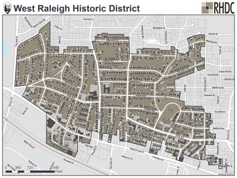
This National Register district map is for illustrative purposes only and is not the official zoning map, which is maintained in iMaps.
Physical Description
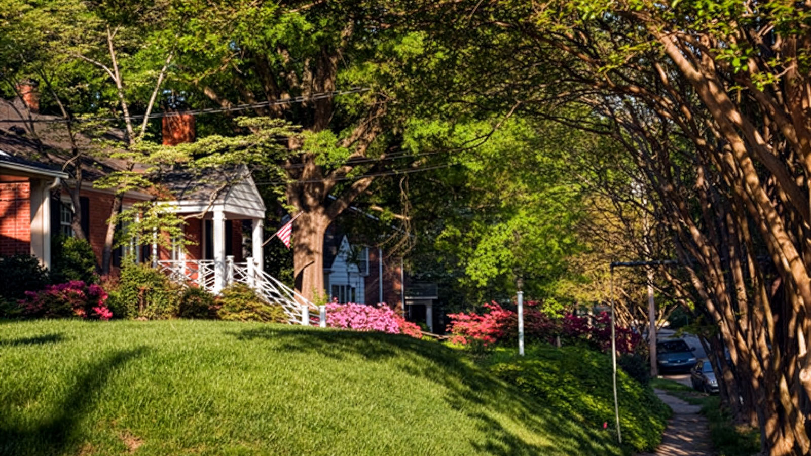
Located north of North Carolina State University, West Raleigh features an eclectic mix of nationally popular styles and vernacular forms common to suburbs developing in the first half of the 20th century. The district contains buildings designed by prominent area architects, including William Henley Deitrick, Milton Small, Thaddeus Hurd, and F. Carter Williams. Most houses date from the late 1920s into the post-World War II era. These dwellings are primarily in the Colonial Revival, Craftsman, Period Cottage, Minimal Traditional, and Ranch styles. Brick buildings housing professional, retail, and light manufacturing concerns located along Hillsborough Street are in the Moderne style or more utilitarian forms. Churches in the district are brick Gothic Revival or Modernist buildings. In the center of the neighborhood is the WPA-era Raleigh Little Theatre (and additions) and the Amphitheatre and Rose Garden, which occupies the original site of the state fairgrounds.
Unlike other suburban developments like Cameron Park, Boylan Heights, and the neighborhoods around Five Points, all of which grew up along the streetcar line, West Raleigh developed in large part because of the rise in the automobile ownership in the early-20th century, as well as the expansion of the adjacent college.
In recent years, aggressive redevelopment throughout the neighborhood has increased. Developers are replacing older multi-family rentals and small, modest single-family houses. With some exceptions along the perimeter of the district for multifamily, the most common new infill skews toward much larger luxury, speculative single-family homes.