Jump To:
Designation Documents
A public works project provided relief for the unemployed and a much-used state park for Raleigh.
Period of Significance: 1934 – 1941
Properties with a contributing status in the district may be eligible for the federal and state historic tax credit programs. Visit the Historic Property Tax Credit webpage for more information.
History
The goals of the Depression-era Recreational Demonstration Area program run by the National Park Service were to develop parks near urban areas and to provide employment for the local population. Often, as was the case with the Crabtree Creek project, the purchase of inferior farmland also aided struggling farmers.
In 1934, the federal government began buying land in the park area, located 14 miles northeast of downtown Raleigh. Civil Conservation Corps (CCC) workers built four campsites in the 5,300-acre park, as well as picnic areas and day-use facilities. Work continued through 1941, when the United States' entry into World War II slowed and later halted the federal program.
In 1943, the federal government sold the entire area to the state for a dollar. In 1950, the state segregated the park, renaming a thousand acres in the southern portion Reedy Creek State Park and designating it for use by African Americans, banning them from the rest of the park. The northern section was renamed in 1955 in honor of conservation-minded Governor William Umstead, who had died in office in 1954. The state ended its segregation of the park in 1966, reunifying the divided park into a single facility once again.
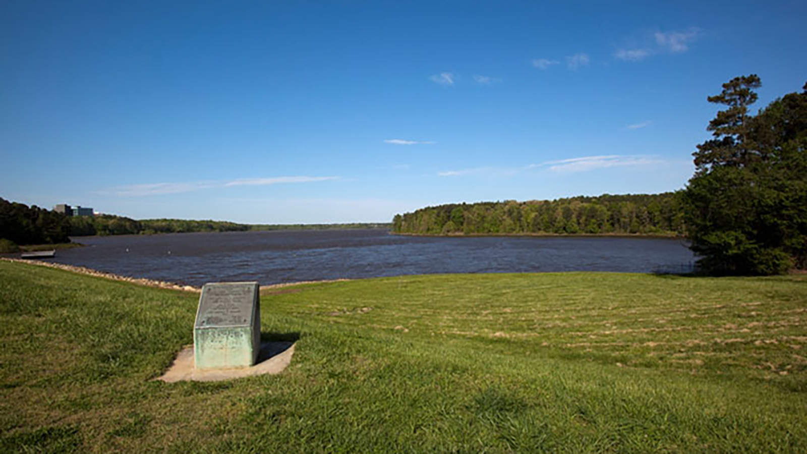
The state has continued to maintain and develop the park, building new structures and site features that are in keeping with the rustic nature of the CCC work. Activities available in the park include boating, camping, fishing, picnicking, hiking, cycling, and horseback riding. The group campsites built by the CCC remain; those include mess halls, dining areas, cabins, and wash houses. An exhibit hall explains the natural and cultural history of the park, and park rangers host environmental education programs for the public.
Historic District Map
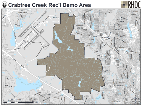
This National Register district map is provided for illustrative purposes only and does not represent the official zoning map, which is maintained in iMaps.
Physical Description
Better known as Umstead State Park, Crabtree Creek Recreational Demonstration Area is a public works project that converted worn-out and subpar farmland into a recreational park during the Depression. In the short term, the project supplied work for young, unskilled men who joined the Civilian Conservation Corps (CCC) as well as work for the architects, foresters, and engineers who designed the project and trained the workforce. The CCC workers planted forests on old farm fields, created lakes, and built the rustic-style bridges, roads, trails, picnic areas, and camp facilities that are characteristic of CCC projects. Today, the park contains the region's best collection of New Deal rustic architecture and landscape design.
In the longer term, the project created a substantial public park near Raleigh. While the land was not great for agriculture, its deep ravines, rocky slopes, and hilly terrain lent themselves perfectly to recreational uses. In addition, the demonstration project's proximity to North Carolina State University (then N.C. Agricultural and Engineering College) and the new School of Forestry at Duke University provided a real-world laboratory for students.