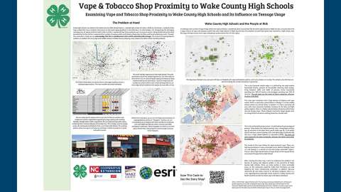
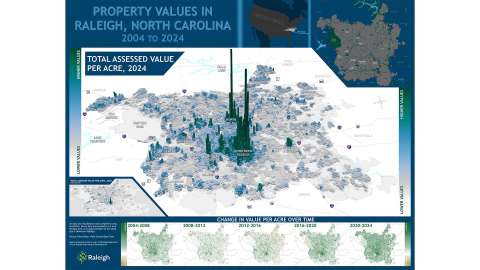
Attendees browse the exhibits at GIS Day

Celebrate 2024 GIS Day Nov. 21

Learn how Geographic Information Systems (GIS) are used in government

Mapping Minds, Shaping the World

The City of Raleigh’s Information Technology Department will host 2024 GIS Day activities at the Raleigh Union Station on Nov. 21, from 8:30 a.m.-Noon where you are invited to see demos of how GIS is used by our state and local governments and experience hands-on learning with GIS technologies. 

This event is FREE, open to the public and perfect for anyone curious about the powerful impact of GIS on our community. 

Agenda

8:30 a.m.: Event opens

9 a.m.: Welcome from City CIO Mark Wittenburg 

Until Noon: Information tables and activities 

Map Contest 

This year’s GIS Day celebration at the City of Raleigh will include an original map competition. Students are encouraged to make submissions!  

To be eligible, your map submission must be: 

  • An original work 
  • Standard size (does not exceed 34” x 44”) 
  • Printed horizontally (landscape view) AND submit a digital version (.pdf, .jpg, .png) 
  • Must contain elements generated using GIS-based methods 

Complete this submission form to be entered into the Map Contest. Deadline to submit your content is Wednesday, Nov. 14. Please bring printed maps to Raleigh Union Station on the day of the event. If you need printing assistance, email gisday@raleighnc.gov. 

All eligible maps will be displayed at Raleigh Union Station during the celebration on Thursday, Nov. 21. The winner will be the map that receives the highest number of votes from GIS Day attendees who will judge the quality, content, and creativity of the map. 

Learn more about the GIS Day celebration.

Visit Raleigh Union Station for parking and location information.  

Questions? Please reach out at gisday@raleighnc.gov. 

Tabling Participants

Learn from organizations listed below on how GIS is used to solve problems in our everyday lives and how other advanced technologies aid in the evolution of GIS. 

4-H Youth Development

NC Department of Environmental Quality

NC Department of Transportation

NC Department of Transportation-Rail Division

NC Department of Health and Human Services

NC Center for Geographic Information and Analysis

Raleigh Department of Transportation 

Raleigh Housing and Neighborhoods

Raleigh Information Technology

Raleigh Parks and Recreation

Raleigh Planning

Raleigh Public Utilities

Raleigh Solid Waste Services

Raleigh Stormwater

Town of Garner-Planning

Wake County Community Services

Wake County GIS-Addressing

Wake County Planning Department

Wake County Project and Portfolio Management Team

Wake County Public Schools

UNC Geography Department

Associated Event

 
Lead Department:
Information Technology

Subscribe